
As part of our ongoing efforts to enhance landscape monitoring and conservation, the DEMONITOR Project has acquired Agisoft Metashape, a cutting-edge photogrammetry software designed for high-precision 3D modeling.
This advanced tool will significantly improve our ability to process and analyze aerial and terrestrial imagery, strengthening our research on erosion dynamics and geological stability at Devils’ Town.
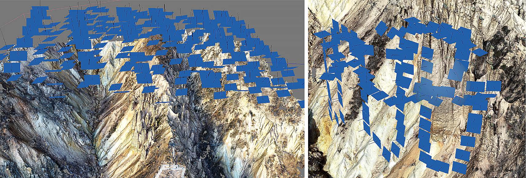
Why Agisoft Metashape?
Agisoft Metashape is a state-of-the-art photogrammetry solution that enables the creation of detailed 3D models from drone and ground-based imagery. The software offers:
- High-Resolution 3D Mapping – Generates accurate digital surface and terrain models.
- Advanced Image Processing – Aligns images with precision to reconstruct complex landforms.
- Multispectral and Thermal Analysis – Supports diverse imaging techniques for comprehensive monitoring.
- Seamless Integration with GIS & Geospatial Tools – Enhances data analysis and visualization.
How It Benefits the DEMONITOR Project
By incorporating Agisoft Metashape into our workflow, the DEMONITOR team will:
- Improve detection and monitoring of rock pillar changes over time.
- Enhance accuracy in erosion tracking through detailed 3D reconstructions.
- Streamline data processing from UAV photogrammetry missions.
- Facilitate scientific collaboration by producing high-quality visual datasets.
This acquisition marks a significant step forward in our ability to apply cutting-edge digital tools for geological research and conservation. Agisoft Metashape will play a crucial role in advancing our understanding of erosion processes and supporting sustainable site management as we continue to monitor and protect Devil’s Town.
Stay tuned for further updates as we implement this powerful technology in our research!