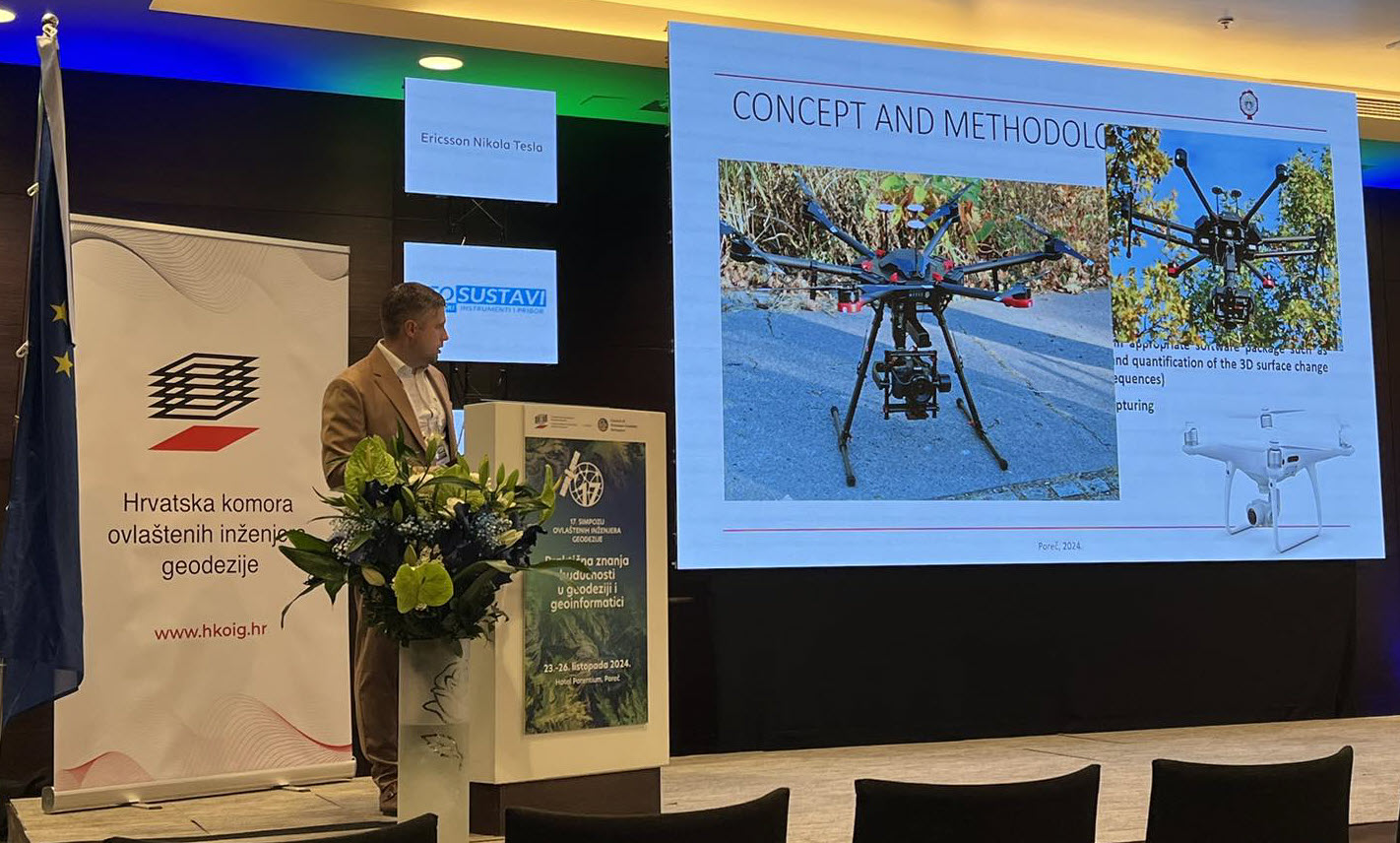
Featured image: team member Nenad Brodić presents the results of research
The DEMONITOR project team presented its latest research at the 17th Symposium of Authorized Geodesy Engineers, held in Poreč, Croatia, from October 23 to 26, 2024. Organized by the Croatian Chamber of Chartered Geodetic Engineers, this year’s symposium focused on “Practical Knowledge of the Future in Geodesy and Geoinformatics,” bringing together experts in geodesy, geoinformatics, and surveying technologies.
“High-Resolution UAV-based Photogrammetry for 3D Modelling and Monitoring Changes of Earth Pillars: Case Study Devil’s Town – Project Demonitor”
This presentation introduced the scientific and professional geodetic community to the project’s objectives and methodologies, with a special focus on high-resolution UAV-based photogrammetry.
Key topics included:
- How drone photogrammetry is used to create detailed 3D models of Devils’ Town’s iconic rock pillars.
- A review of results from previous UAV monitoring missions and the changes detected in the fragile landforms.
- The advantages of UAV-based techniques for non-invasive, high-precision erosion monitoring.
A significant part of the symposium involved interactive discussions with attendees, where experts from different fields shared insights on alternative techniques for monitoring earth pillar erosion.
The project’s next phase will focus on combining UAV photogrammetry with other remote sensing techniques to enhance the long-term monitoring and preservation of Devils’ Town.
Stay tuned for more updates on our research and field activities!

