
Welcome to our project news hub! Here, you’ll find updates on our project implementation and realization efforts. Stay tuned for the latest developments, milestones, working packages and successes as we bring our project toward goals.
-
Sarproz Software Acquisition: Advancing Remote Sensing Capabilities
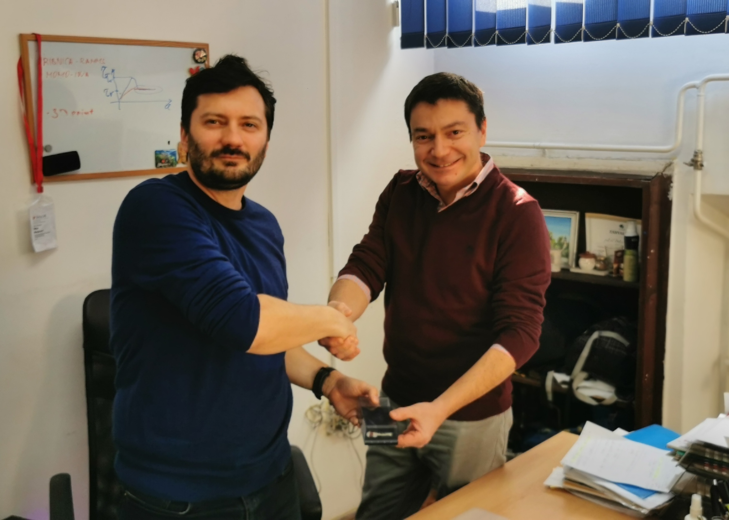
Featured image: Project PI prof. Miloš Marjanović & Prof. Daniele Perssin On February 4, 2025, the Faculty of Mining and Geology welcomed Prof. Daniele Perissin, who delivered the Sarproz software to our research team. This acquisition marks a significant milestone in the advancement of our project, equipping us with cutting-edge tools for advanced remote sensing
-
Demonitor @ Science Festival
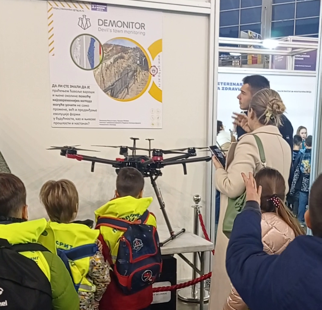
As part of our dissemination and promotion activities, we participated in the 17th regional Science Festival, held at the Belgrade Fair from December 12 to 14, 2024, under the slogan “Evolution of Ideas.” Through the exhibition “Civil Engineers Develop New Ideas for Future Challenges”, the audience of the Science Festival had the opportunity to see
-
Geospatial and Geophysical Investigations at Kuklice and Đavolja Varoš
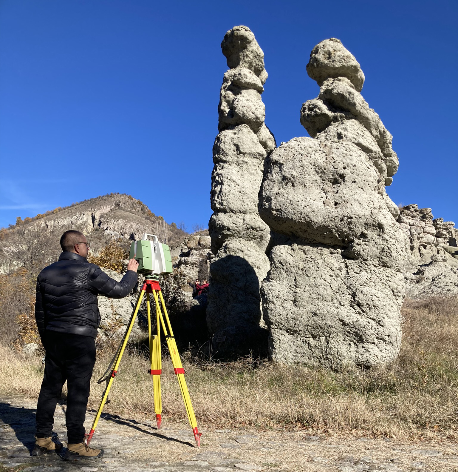
Featured image: Terrestrial Laser Scanning at Kuklice: Capturing unique rock formations in 3D for future generations (Team member M. Pejić, photo by M. marjanović 2024) Field visits were conducted to advance geospatial and geophysical investigations as part of the ongoing research under Work Package 2 (WP2) – Acquisition. These visits formed an essential part of