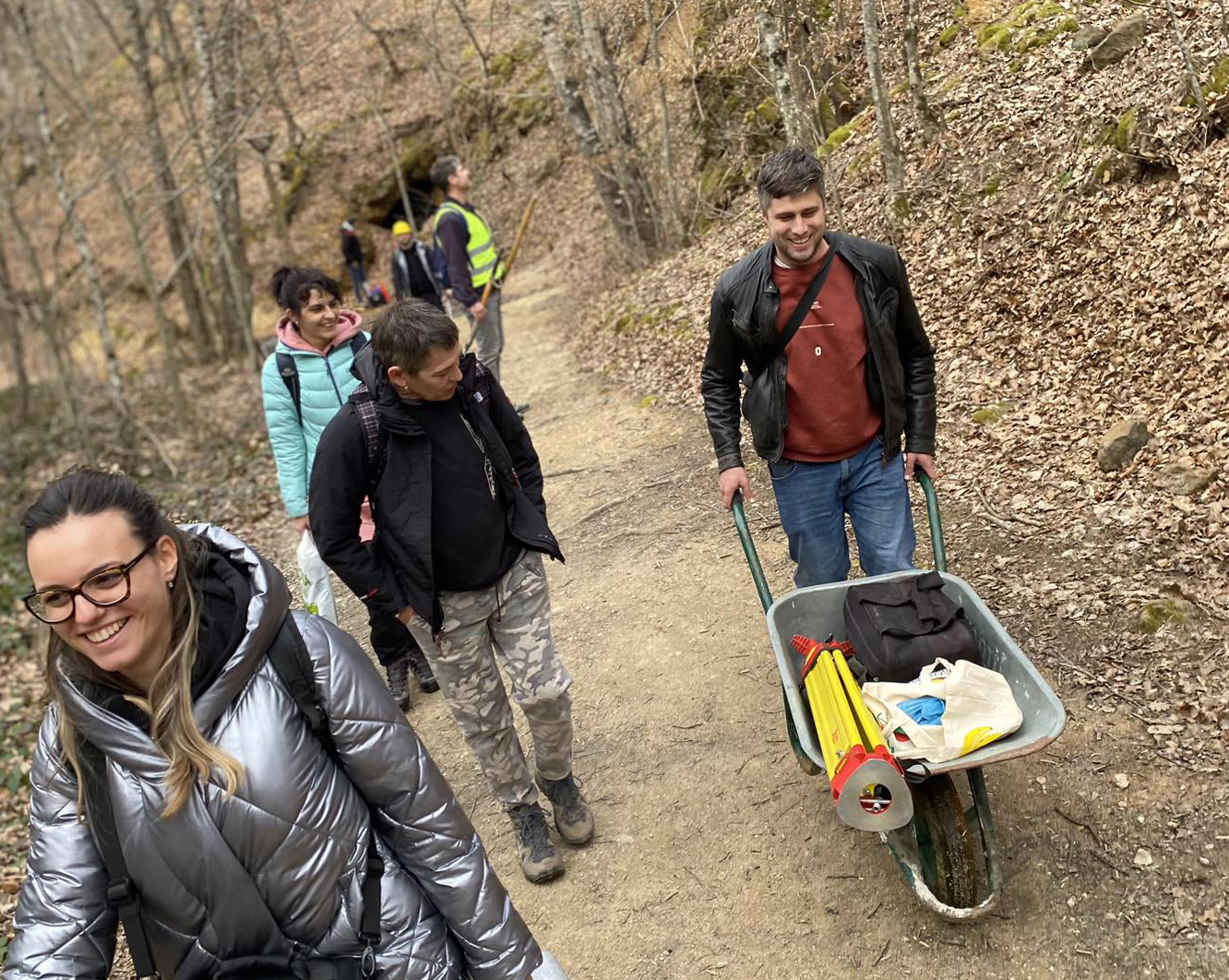
The initial field investigation for the DEMONITOR project was completed within three days from 25.2.-27.2. 2024. This was the first site visit of a research area out of the planned six days throughout the project duration. The task of this survey was to scan Devil’s Town and its surroundings using a Lidar scanner, aerial photogrammetry, all belonging to Work Package 2 (Acquisition).
The first day of fieldwork was dedicated to scanning the slope near the study area using Lidar. From this location samples were selected for laboratory testing to compare with the material found at Devil’s Town, which is similar in composition and structure.
The second day of fieldwork involved preparing the Devil’s Town terrain for Lidar scanning and setting up equipment on-site. Devil’s Town was scanned from multiple positions, considering the previous scan positions. Geotechnical field tests were conducted at various locations on samples using a Smidth hammer and pocket penetrometer. Samples were collected from these locations for further testing in the laboratory. Aerial imaging and scanning were conducted using two different Unmanned Aerial Vehicles.
On the third day of fieldwork, a meeting was held with representatives from the Planinka organization, discussing the research schedule dynamics. Following that, another slope near the site, previously observed, was scanned.

